Toggle navigation
Login & Sign Up
TILES
LAMINATES
SANITARYWARE
PLYWOOD & BOARDS
More Categories
HARDWARE
SWITCHES & SOCKETS
PLUMBING SYSTEM
PAINTS
WALLPAPERS
GLASS
BATH ACCESSORIES
FAUCETS
ADHESIVE
CEMENT
FURNISHINGS
LIGHTS
MODULAR KITCHEN
STONE
VENEER
ACRYLIC SOLID SURFACE
Dealers
Blog
0 years ago
Page Contents
Find us on Facebook
BEYOND BOOKS
Anthropometry
Daylight
Parking
Climatology
Theory of Colours Capturing Attention, Basics and Psychology
View All
ISSUE- 2 THINKING SPACES
Blue Flames
Editorial
Editorial
The Unfolding Cosmos
Figments
View All
ABOUT MATERIAL
Cement Types Uses Buying Tips Difference between ppc & opc
Damp & Water-proofing Causes Effects How to treat
Tiles Manufacturing Classification Quality and Installation
Timber Properties Decay Preservation and General Uses
Building Stone Properties Classification Durability and Artificial Stones
View All
Interactive Session
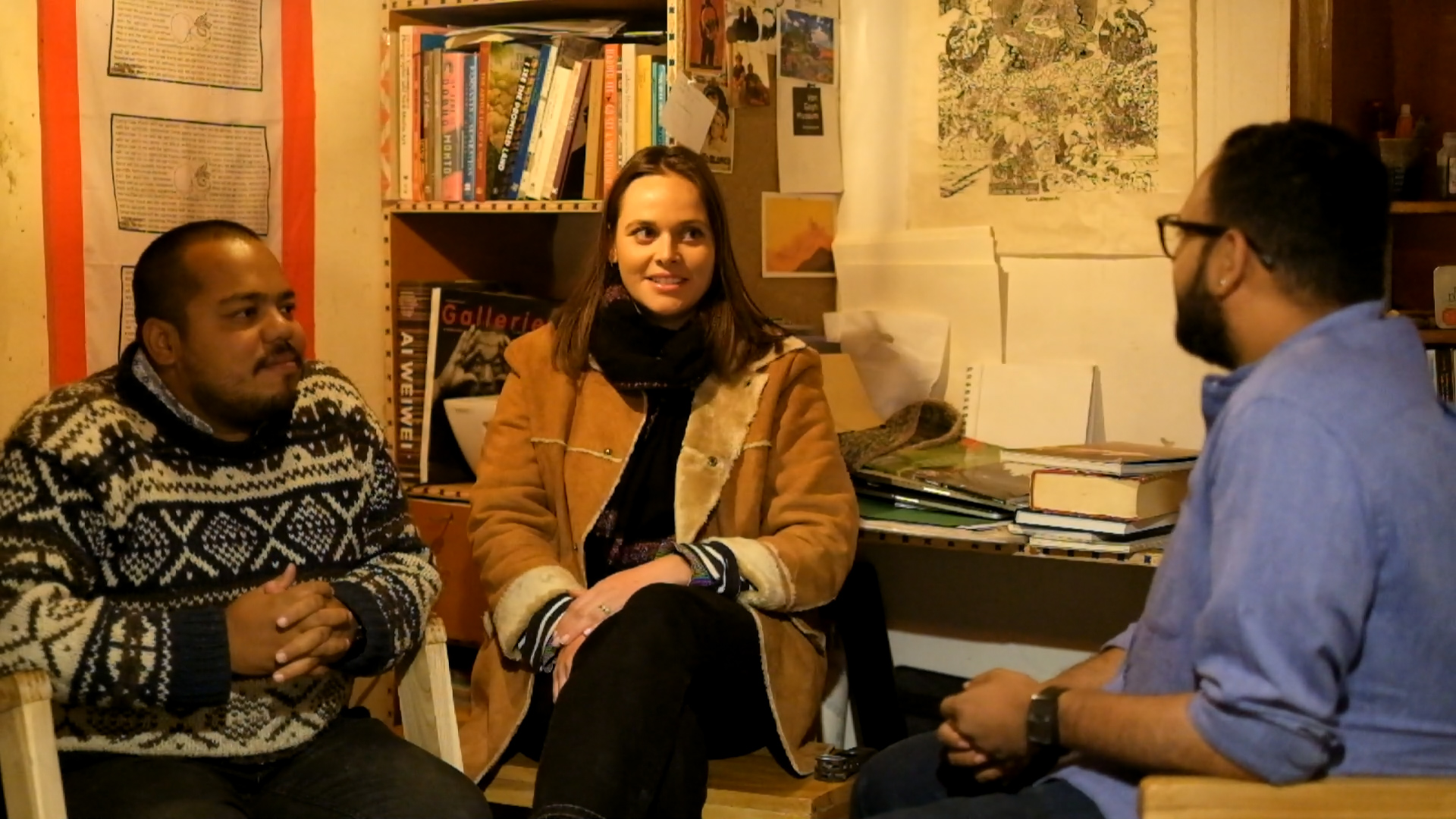
An Interview with Mr. Debasish Borah and Ms. Hélène Thébault
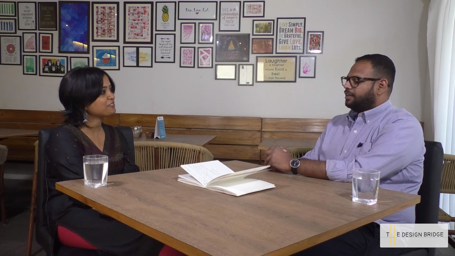
Rita Ghosh
An Interview with Vijay Singh (Rajputana Customs)
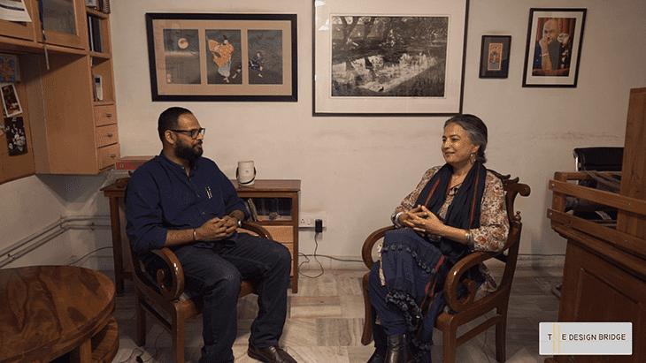
An Interview with Ms. Gurmeet S. Rai
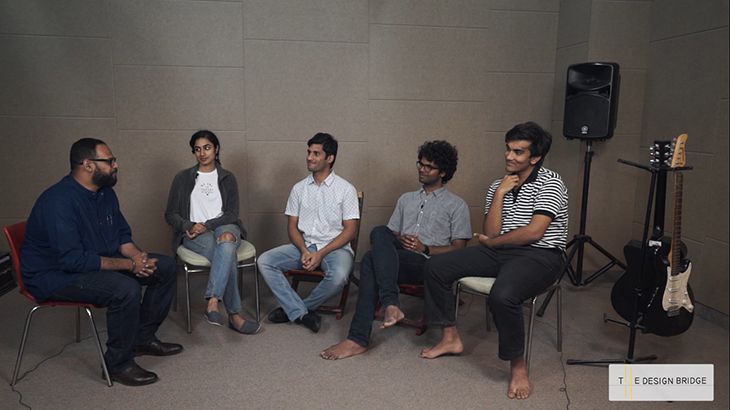
An Interview with - Shorthand
View All
Fragments of Space
A Subtle Contrast
Cleft House
Collage House
Cubes
House of Sweeping Shadows
View All